Norway International Climate and Forest Initiative’s (NICFI) open satellite data
The Norwegian Ministry of Climate and Environment and the Norwegian Agency for Development Cooperation (Norad) collaboratively administer the Norwegian International Climate and Forest Initiative (NICFI). The main objective of NICFI is to mitigate climate change through the reduction and reversal of tropical forest loss, the preservation of biodiversity and sustainable development.
In September 2020 Norway’s Ministry of Climate and Environment started a contract with satellite data providers to offer access to high resolution satellite data to anyone and free of any license fees.
The collaboration of Kongsberg Satellite Services (KSAT), AIRBUS and Planet collects, prepares and distributes Planet’s high-resolution, analysis-ready mosaics of the world’s tropics.
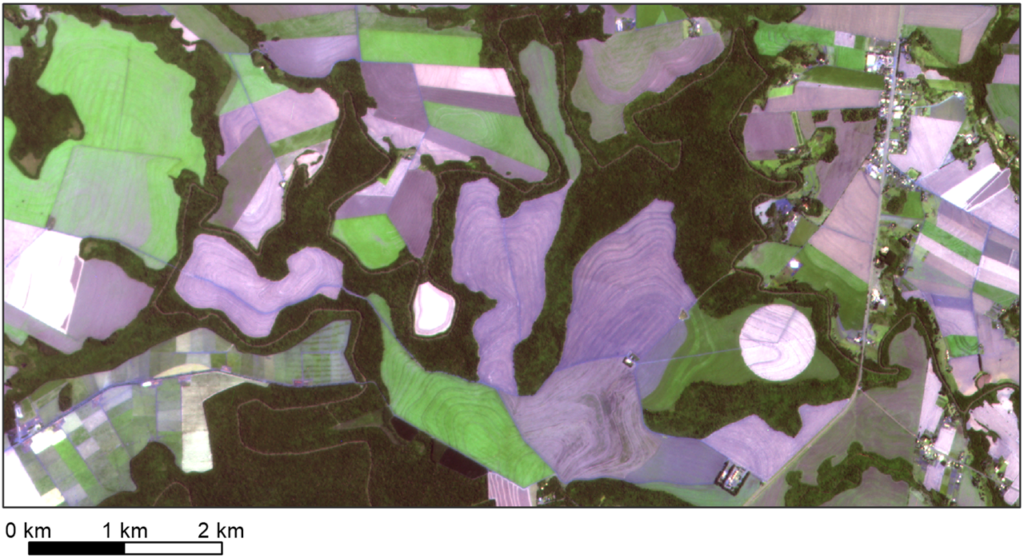
The Planet dataset has a spatial resolution of 4.77 m and is made available for two time intervals a year from 2016 to 2020. From 2020 onwards monthly image mosaics are provided. The satellite sensors capture red, green, blue and near-infrared bands. The near-infrared wavelength isn’t visible to the human eye, but very sensitive to vegetation cover and changes thereof.
The use of NICFI’s data must align with the purpose of NICFI and comply with the license terms (link). Registration to gain free data access is available here: https://www.planet.com/nicfi/


